|
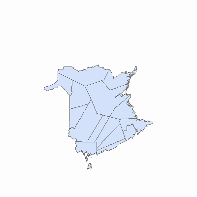
Width: 400 Height: 400 Extent:
YMin: 7185010.825889884 XMax: 2874304.068220245 YMax: 7915806.672330373 Spatial Reference: 2036 (2953) Scale: 6905143.793846895 |
| ArcGIS REST Services Directory | Login | Get Token |
| Home > services > OpenData > County (MapServer) > export | Help | API Reference |

|
Width: 400 Height: 400 Extent:
YMin: 7185010.825889884 XMax: 2874304.068220245 YMax: 7915806.672330373 Spatial Reference: 2036 (2953) Scale: 6905143.793846895 |